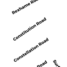
17 CONSTELLATION ROAD
Owner Information
JOYCE JOANNE L & MICHAEL P
4 SHORE DRIVE
CANTON, MA 02021-0000


Property Details
17 CONSTELLATION ROAD is classified as a Single Family Residential (Old style).
The primary structure on this property was built in 1920. There are 1,232ft2 of built area within this property. There is 1,232ft2 of residential/living space within this property. This property is listed as having 9 rooms.
17 CONSTELLATION ROAD is valued at $587,500. The land is valued at $371,300 and the structures are valued at $203,900. There is an additional valuation of $12,300 on this property.
This property is in Zone R-3. Confirm with local Zoning Board authorities to ensure there are no overlays or other easements on this property.
17 CONSTELLATION ROAD was last sold on Monday, February 3, 2003 for $0.
Assessment data from fiscal year 2022.
Flood Data
This property is completely within the AO Zone (shallow flooding, up to 3 feet).
This information is sourced from the FEMA National Flood Hazard Layer. See our full disclamer.
Broadband Internet Providers
| Provider | Type | Bandwidth (mbps) | |
|---|---|---|---|
| Verizon New England Inc. | Fiber | 940 | 880 |
| GCI Communication Corp. | Satellite | 0 | 0 |
| T-Mobile | Fixed Wireless | 25 | 3 |
| Comcast | Cable | 1000 | 35 |
| VSAT Systems, LLC. | Satellite | 2 | 1 |
| HughesNet | Satellite | 25 | 3 |
| Viasat Inc | Satellite | 100 | 3 |
| Verizon New England Inc. | DSL | 5 | 0 |
Broadband service provider data from December 2020.
Adjacent Properties
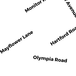
- 24 MONITOR ROAD
Single Family Residential owned by HOWARD MARTIN J III - 18 MONITOR ROAD
Single Family Residential owned by KELLIHER LAURIE E - 16 MONITOR ROAD REAR
Single Family Residential owned by MACLELLAN TIMOTHY D & JANET M - 23 CONSTELLATION ROAD
Single Family Residential owned by SHEEHAN JUNE P - 11 CONSTELLATION ROAD
Single Family Residential owned by MACLELLAN ALLISON